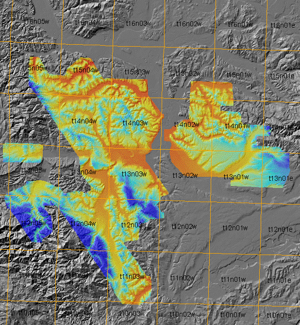
 This is the Lewis County survey, the first PSLC project to be gridded at 3-foot
spacing. Townships are shown. Data coverage was just sufficient to cover
the aftermath of the
the storm of December, 2007
This is the Lewis County survey, the first PSLC project to be gridded at 3-foot
spacing. Townships are shown. Data coverage was just sufficient to cover
the aftermath of the
the storm of December, 2007
This is the Lewis County survey, the first PSLC project to be gridded at 3-foot
spacing. Townships are shown. Data coverage was just sufficient to cover
the aftermath of the
the storm of December, 2007
May 25, 2016: It was brought to our attention that the topsurface DEM was mosaicked as an integer raster. It is being replaced with a new filegeodatabase of topsurface and shaded relief.
There is a new zipped bare-earth DEM and hillshade
We trust that your sotware can handle files larger than 2GB.