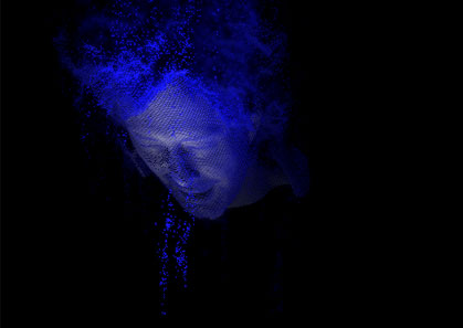
 Radiohead uses terrestrial-based LiDAR (another version)
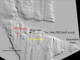
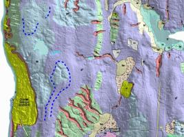
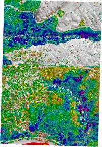
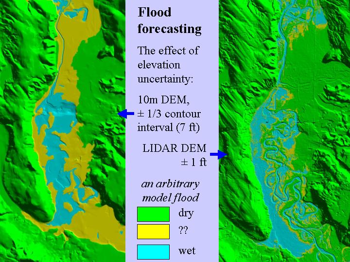
Finding faults and Geomorphic mapping are active efforts. Forest characterization and flood modelling are examples of the potential of lidar survey data.
Radiohead uses terrestrial-based LiDAR (another version)
 LiDAR As Art
(and
Spy in the Sky)
LiDAR As Art
(and
Spy in the Sky)