Puget Sound Lidar Consortium

Home | About Lidar | About the PSLC | Data | Uses of Lidar data | Links | Contact us


2005 Olympic Peninsula Projects


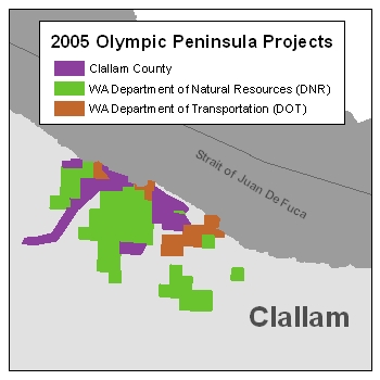
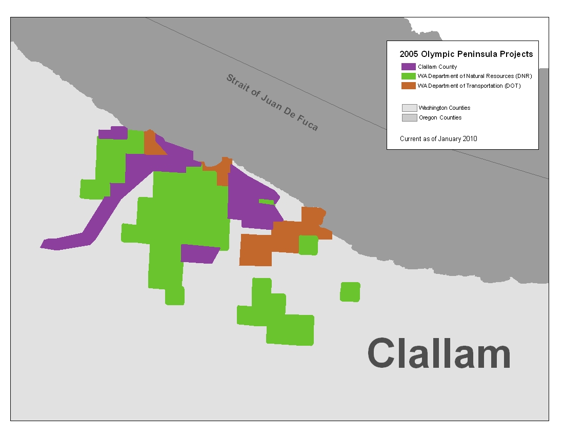
Description:
This project covers the vicinity of Sekiu and parts of the following water bodies: Hoko River, Clallam River and Reed Creek.  The Project was funded by three different agencies, Clallam County, WA Department of Natural Resources (DNR) and WA Department of Transportation (DOT).  The contractor that surveyed and processed the data separated it by funding agency.  The PSLC has merged all raster data that have common boundaries.  The point ASCII data has been preserved in its original state.  The bare earth point data was delivered separated by project and the all-returns point data was delivered as one project.

The all-returns point data has different field attributes then all the other 2005 projects.  See the field header information file for the fields available.


The DEM grid cell size is six feet. The elevation units are in feet. The data is in Washington State Plane North Coordinate System FIPS 4601, in the NAD83(HARN)/NAVD88 datum.

Back to Data by Projects

Reference Information:
This information is provided to be used in conjuction with the LiDAR datasets.

Map of all Projects (JPEG)
Project Reports
Field Header information for All ASCII
Trajectory Files
Project Area and Index files (Shapefile)
Frequently Asked Questions
      
Data:
The raster data is available in either USGS quarter quads and as a Mosaic.  The elevation data in quarter quads is in the
ArcInterchange .e00 format.  The hillshade images in quarter quad are in georeference TIFF format.  The raster elevation data is also available as a mosaic ArcGIS 9.x file Geodatabase.  The file Geodatabase includes raster datasets for the bare earth and the top surface. The point data is available in ASCII text format.  Point data is only available by tile.  A tile is a 1/25 section of a USGS quarter quad.  For details on the subdivisions of this data see the Index shapefiles in the Reference Information section above.

Raster Data by USGS Quarter Quad/Tiles Individual Files DEM Index Map Topographic Image
Index Map
Bare Earth - 6 ft raster resolution
list dem map
Top Surface - 6 ft raster resolution DEM list DEM Index
                  Map
Bare Earth Point ASCII files

See Below


All-Returns ASCII files
(See 2005olympic_all_return_field_headers.txt)
DEM list


Raster Mosaic Data


File Geodatabase Mosaic (527 MB)


Bare Earth  ASCII Files
The bare earth ASCII data is available by individual project.  Adjacent areas have not been merged.  To search and download the data follow the steps below.  If you have further questions see the
Frequently Asked Questions page.

Download Steps
1.  Download the Project Coverage shapefile and the Tile Index shapefile.
2.  Using the Project Coverage shapefile find the PSLC project and the sub-project that covers your area.  If your area is on the boundary of two projects, you will need to download files from both.
3.  Using the Tile Index shapefile find the quarter quad(s) and tile(s) that cover your area.
4.  From the list below, select the project or sub-project you found in step 2.  Once there find the quarter quad(s) and download the tiles for your area (from step 3).

List of LiDAR Projects and Sub-Projects
PSLC2005
Olympic Clallam
Olympic DNR
Olympic DOT


Back to Data by Projects


Update Policy 
As we approve data from the contractor they are posted here. Areas within many of the bare-earth DEMs can be improved by further processing of the all-return point data to better isolate bare-earth points. As we make these improvements we will upgrade the bare-earth DEMs and derivative images posted here.

Technical Assistance
If you have difficulty loading the data files into your software, cannot easily transfer large files via the Internet, or would like advice on the uses and limitations of these data, please reference our frequently asked questions.  If you can't find what you need here contact us.

This page maintained by PSLC webmaster